

Description
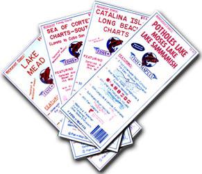
Fish-N-Maps Underwater Topography maps provide detailed underwater terrain information essential for structure fishing. Featuring precise fish locations, longitude and latitude grids, and comprehensive topographical data, these maps are invaluable tools for anglers, boaters, and campers seeking to navigate and fish with confidence. Each map is sold individually, offering expert-level insight to enhance your outdoor adventures.